01 / Delivery
Project Management
Planning, delivery and control of exploration, drilling, geotechnical and groundwater programmes — safely, on time and within budget.
Explore Project Management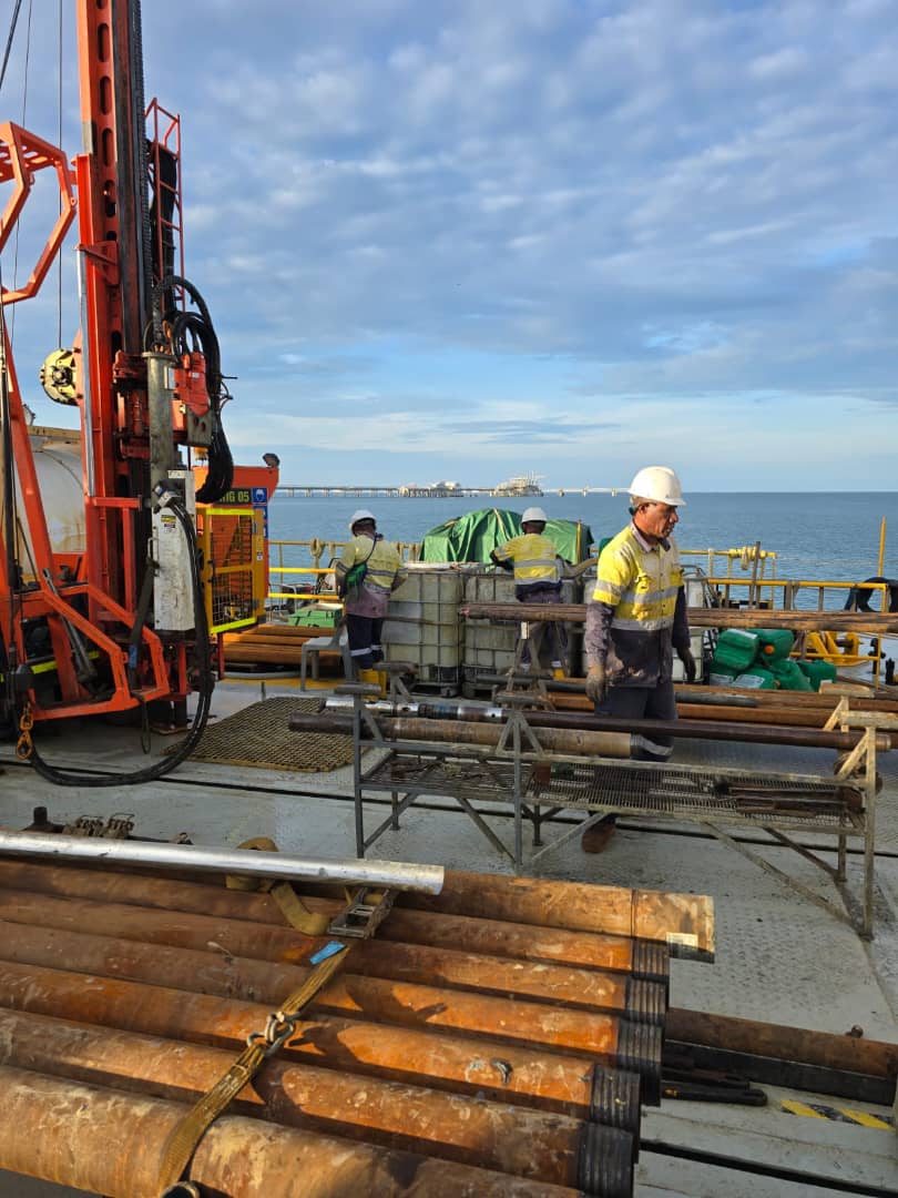
Built around the realities of operating in PNG — remote sites, complex terrain, and rigorous regulatory and community-engagement requirements.
Planning, delivery and control of exploration, drilling, geotechnical and groundwater programmes — safely, on time and within budget.
Explore Project ManagementGround investigations and engineering analysis for reliable foundations, roads, ports, jetties and industrial facilities.
Explore Geotechnical ServicesFinding, proving and developing dependable groundwater supplies for communities, industry and resource operations.
Explore Groundwater InvestigationSpatial data, drone surveys and mapping to support decisions across exploration, infrastructure and planning.
Explore GIS Mapping & Spatial AnalysisInvestigation, testing and reporting reference the relevant Australian Standards and Papua New Guinea codes for each scope of work. These are referenced standards, not certifications held by ESPNG. Laboratory testing is through PNGLAS-accredited laboratories.
Site-specific HSE and reinstatement plans, toolbox meetings and PPE guide field activities. Sample chain-of-custody, QAQC and technical review support defensible results.
PQWT-S150 geo-resistivity equipment, Dynamic Cone Penetrometer (DCP), Horiba U-52 water-quality equipment, GPS and drones — supported by QGIS and MapInfo for spatial data and analysis.
Talk to ESPNG about your next project management, geotechnical, groundwater, or GIS project. We reply to enquiries within one business day.